Trail: Jefferson via Caps Ridge Trail
Date Hiked: 16SEP06
Conditions: Some mud down low, mostly gone by early afternoon. Small black bugs on top, not bighting but crawling over everything. Orange blazes somewhat worn and cairns kinda small in places. Not a problem today but could be an issue in poor weather/winter.
Special Required Equipment: New knees
Comments: I had the trail to myself on the way up, and alone on the summit for at least 45 minutes. About a dozen other folks showed up before I headed down. Passed another 3 dozen or so on the way up as I went down. Absolutely georgeous day. 70s and calm on the summit at 10:30! Amazing undercast that burned off by noon. Probably one of the top ten days of the year and tomorrow is supposed to be better. (44/48)
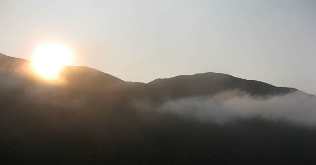
Sun rise over the Presidential Range.
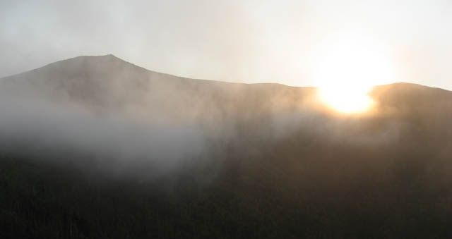
The sun peeks out from behind Jefferson.
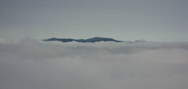
Garfield Ridge pokes out from the undercast.
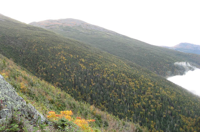
Mt. Clay from the Caps Ridge Trail.
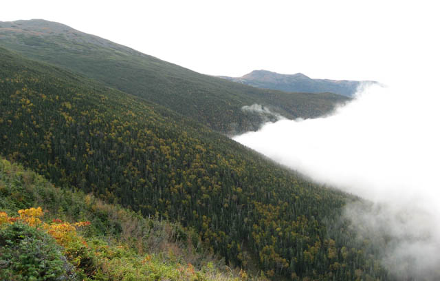
Looking South along the Presidential range from Caps Ridge.
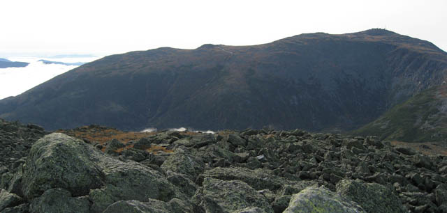
Mt. Washington and the Great Gulf from Jefferson Summit.
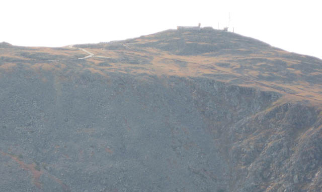
Mt. Washington from Mt. Jefferson.
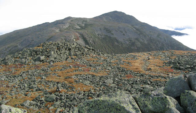
Mt. Adams across Jefferson Ravine from Mt Jefferson.
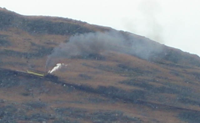
The cog railway going up the side of Mt. Washington.
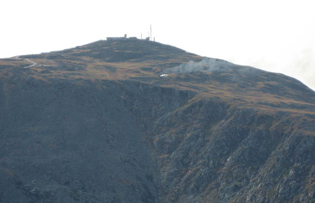
The cog railway going up the side of Mt. Washington.
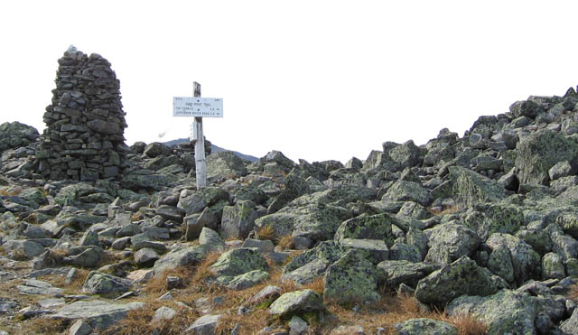
Trail intersection near Jefferson summit.
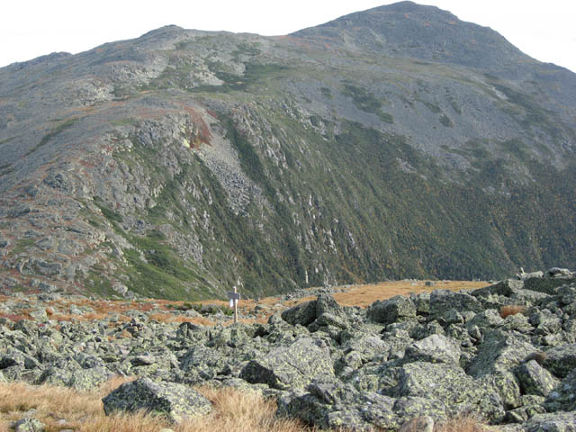
Intersection of Gulfside Trail near Jefferson summit with Mt. Adams in the background.
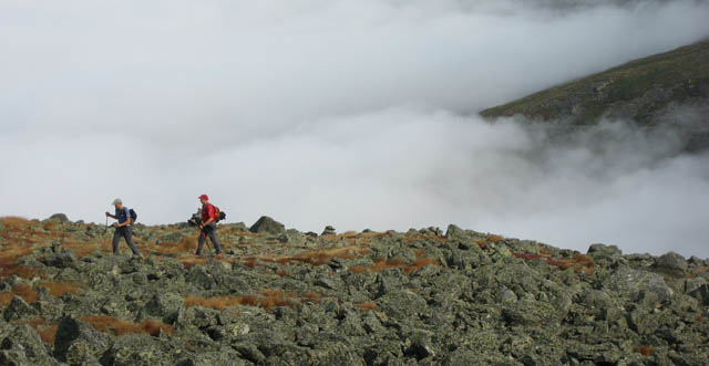
Two hikers aproaching the summit of Jefferson from the Gulfside Trail.
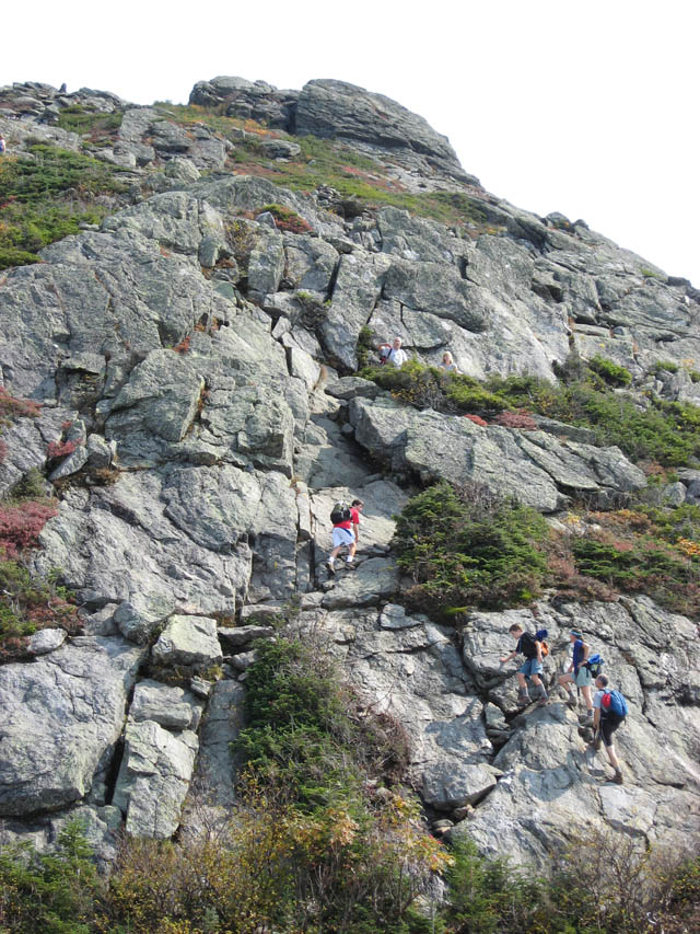
Going up the Caps Ridge Trail.
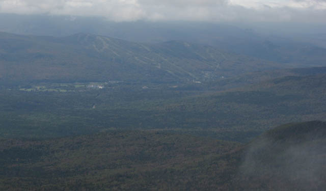
Mt. Washington Hotel and Bretton Woods ski area from Caps Ridge Trail.
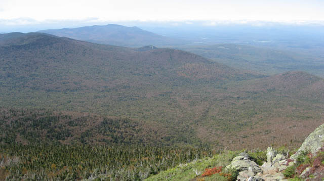
Jefferson Notch from the Caps Ridge trail.